
KAKAMEGA COUNTY GIS POLICY VALIDATION
Kakamega County has embarked on the formulation of a County Geographic Information System (GIS) Policy to institutionalize the use of geospatial information in land administration, public land management, physical and land use planning, development control, infrastructure planning, natural resource governance, service delivery and evidence-based decision-making.
The initiative is being implemented under the Digital Land Governance Programme (DLGP) by the Food and Agriculture Organization of the United Nations (FAO), in partnership with the European Union and the Government of Kenya. Following an initial technical stakeholders’ meeting held in February 2026, a technical drafting session conducted from 6–10 July 2026 consolidated previous inputs and produced the first draft of the Kakamega County GIS Policy, which is now undergoing stakeholder validation.
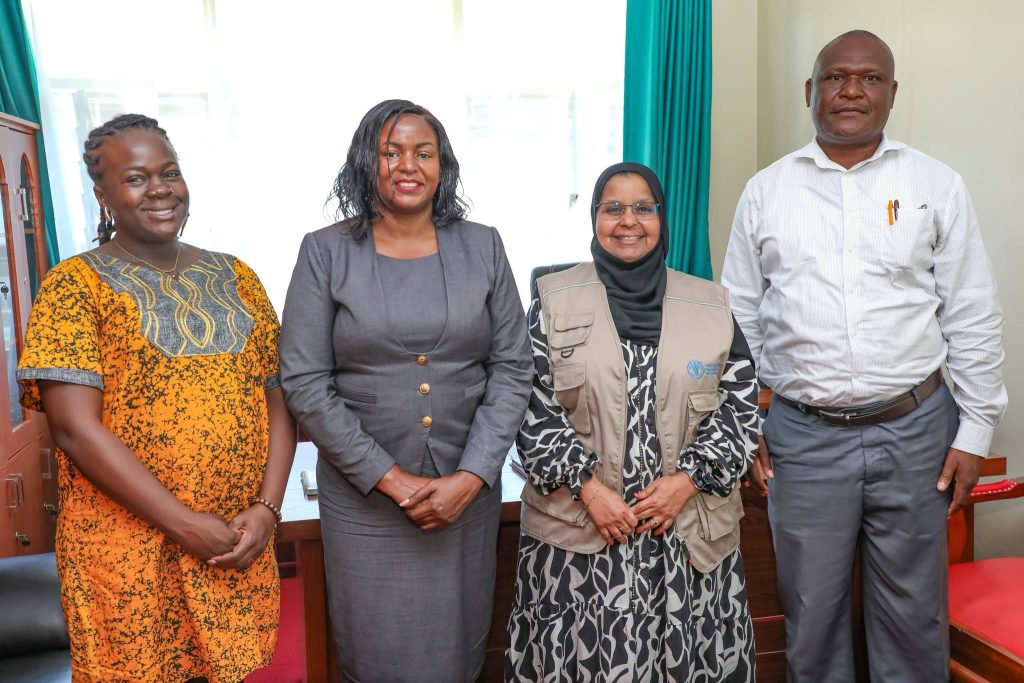
Officially opening the validation meeting on behalf of Governor Fernandes Barasa, the CECM for Lands, Housing, Urban Areas, and Physical Planning Ms. Angela Silima, thanked the policy experts and stakeholders for their collaborative effort in developing the policy and appreciated FAO for training GIS champions in the county.
She described the meeting as an important technical validation forum to obtain informed views, undertake quality assurance and ensure that the policy is aligned with existing laws and policy instruments. She urged participants to ensure that the proposed GIS governance and institutional arrangements strengthen service delivery to the people of Kakamega.
Ms. Husna Mbarak, Manager of the Digital Land Governance Programme, challenged participants to consider practical ways GIS can improve revenue allocation, support the tracking of business licences and payments, and enable the county to monitor development projects more effectively.
The validation is expected to improve the technical quality, legitimacy and stakeholder ownership of the GIS Policy, provide greater clarity on county GIS governance and institutional responsibilities, and strengthen its readiness for consideration by the County Executive and County Assembly.
Also present were county directors led by Director of Lands, Mr. Stephen Chune, together with other technical officers and stakeholders.